
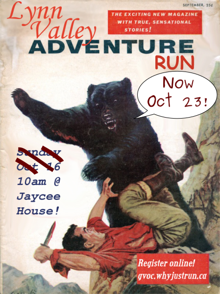
Lynn Valley Adventure Run Why Just Run
October 23rd 2016 10:00am - 1:00pm

Organizers: Nathan Detroit Barrett (Event Director), Ian Saari (Event Director), Robyn Rennie (Permit), Adam Woods (Coach), Karen Lachance (Membership), Rachel Howard (Membership), Scott Muma (Host), Joanne Woods (Host), Eric Cessford (Host), Troy Nipen-Barrie (Host), Bruce Rennie (Host), Alison Schoenhardt (Membership)
Map: Lynn Valley
****************************************************
Thanks everyone for coming out! Super impressed by everyone out there today and happily surprised at the turn out for the 5 hour event! Results have been posted, and we've posted a link to the splits.
It is possible there are errors, so let us know if there's a problem, and we'll try our best to rectify and repost.
Lastly, a massive thanks to all of the people who helped make today possible! Many of these people helped filled many roles today, but some specifics: Bruce, Troy, Dave, and Andrey for helping put out and collect controls (so Ian and I didn't have to wander in the dark for 2 nights in a row!), Joanne for her amazing soup and food logistics, Scott for food jockeying (and eating!), Karen, Rachel, and Alison with membership and registration (had a lot of new faces out there!), and Adam and Cessna for helping orient the new orienteers! Also had a pretty solid cleanup crew and probably forgot some...:P These events are run purely on volunteers, and without their help, they wouldn't be possible.
Hope everyone had a great time today and will hopefully see you at the next one!
****************************************************
Come join us for this North Shore classic! This years event will include a 1.5h, 3h, and a new 5h score event (for those who really want to get there money's worth!). This style of race will have controls/checkpoints scattered around the Lynn Valley/Rice Lake/McCartney Creek area, each with different point values, and competitors will have to try come up with (and subsequently follow) an optimal route to collect as many points as they can within their chosen time limit.
The terrain around the North Shore is a nice mix of beginner friendly trails and roads that are closer to the start/finish and some more technical terrain further away. It should offer a good introduction for anyone new, while providing others with the opportunity to explore some of North Vancouver's exotic plant life!
Scoring Rules
You need to collect a maximum of points within a given amount of time (1.5, 3 or 5 hours). Each control will be worth a fixed amount e.g. controls numbered 31 to 39 will be worth 30 points each, controls numbered 40 to 49 will be worth 40 points each etc and each minute late back will reduce your point total. You will lose 20 points for every minute that you are back late so it isn't worth attempting to get that last control if it means you will be back late.
Map/Terrain
This year we've combined all of the maps in the Lynn Valley/Braemar/Rice Lake/McCarney Creek area...to make a super map! It is something. It will be 1:15000, with 5m contours. If you haven't seen an orienteering map before, check out the map link above.
Start/Finish Location:
The start and finish location will be at the Jaycee House, on the corner of Lillooet Rd and Inter River Park (see map below). It is accessible by the Capilano University bus, and there is parking available around the streets and Cap university parking lots. There will be someone at the Jaycee House at all times, so bikes can be left there, but we would probably only be able to fend off one thief at a time, so use at your own risk!
Schedule
- 7:30am - Registration for the 5 hour course
- 8am - Route Planning for the 5 hour course
- 8:15am - Mass Start for the 5 hour
- 9am - Registration for the 1.5/3 hour courses
- 10am - Route planning for the 1.5/3 hour courses
- 10:15am - Mass start for the 1.5/3 hour courses
- 11:45am - Finish for 1.5 hour course
- 1:15pm - Finish for 3 and 5 hour courses
Safety Precautions:
We're still figuring out whether we're going to put out a water station and whether the taps have been turned off at Rice Lake, but be prepared to be self sufficient!
Rivers can only be crossed on bridges. Trails are to be used as required.
Roads can only be crossed at marked intersections and sidewalks are to be used at all times if available.
********************************************
Any questions, just message Nathan or Ian. Hope to see you all out there!