
McCartney Creek WET Wednesday Evening Training
July 17th 2024 6:00pm - 8:00pm

Organizers: Alistair Howard (Event Director), Joanne Woods (Membership)
Map: McCartney Creek
Thanks for coming out and I hope you all enjoyed the map! Let me know if there are any mistakes on the results. Cheers, Alistair
------------------------------------------------------
Meet at Blueridge Park (see pin below). I should be ready for the first start just before 6pm.
I plan to have beginner, intermediate, and advanced courses (~2km to ~5km+):
Advanced: ~4.8km. There are a couple of loops to allow you to customize the distance and come home early. Expect lots of climbing and orienteering pants and gaiters are recommended - you will probably need to go off trail (west-coast "white) and over some steep terrain
Intermediate: ~3.5km. One big loop. Most legs allow for mostly on trail navigation (if you want). Expect to do some climbing.
Beginner: ~2.1km: Loop following major trails. Beginner friendly but kids should be shadowed :) Please let me know if you need coaching.
All distances are approximate and straight-line.
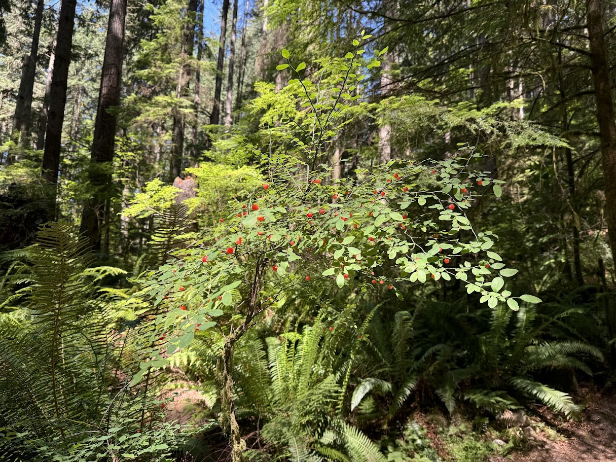
It's prime huckleberry season - almost better than finding a control flag!
Please register before noon on Wednesday so I can print the maps. I will have some extras if people want to change courses.
See who is coming here!