
Cleveland Dam WET Wednesday Evening Training
May 28th 2025 6:00pm - 8:00pm

Organizers: Laurent Mingo (Event Director), Joanne Woods (Membership)
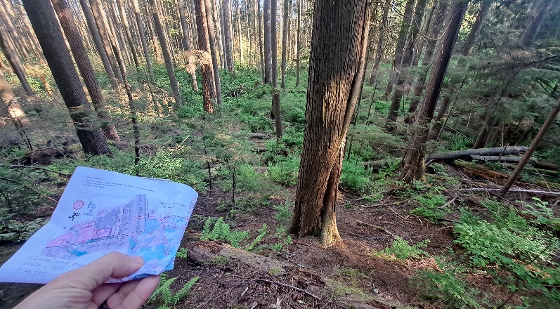
Map: Cleveland Dam
This WET will focus on route choices as in a "Long" event. Distance between controls can be substantial (could be > 500m on some of the course this Wednesday). The challenge is to pick the optimal route choice while traveling at speed. To do so consider:
- estimated running distance of each route choice
- elevation gain of each route choice
- estimated risk for each route choice versus others. "Risk" includes things like: potential for losing contact with the map, so how complex each choice is to navigate, runnability, etc...
Especially on the longer course, there will be substantial elevation gain that will have to be accounted for when dialing your running speed for optimal route choice and on-the-fly implementation.
Most travel should remain on trails (some more obvious than others, but trails nevertheless) unless you are eager for another dose of tough orienteering like at Ioco.
Synopsis:
(1) Easy-ish course : ~2.5km - 70m vertical
(2) Moderate course: ~ 3.1km - 70m vertical
(3) Harder course: ~ 5km - 180m vertical
Distances are given as straight lines, and effective running distance will definitely be more. Bring some water for the warm weather.
Wednesday's Wx forecast is for warm and sunny weather. Consider bringing something for a picnic after the event !
Register online before Wed 12:00.
Parking:
- Cleveland Dam P. Lot : until 9pm
- Side streets have also available parking on Prospect Avenue (https://maps.app.goo.gl/3ccnSborsrveqFfH9).