
Hollyburn Ski O #2 Weekly Virtual Training
March 5th 2021 10:00am - March 14th 2021 11:59pm

Organizers: Laurent Mingo (Event Director), Robyn Rennie (Controller), Laurent Mingo (Course Planner)
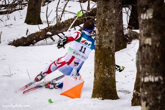
Ok ok, this image is probably a bit optimistic ( race suit, control box...) but at least it will give you something to look forward to. The event will be virtual, so no controls and no flags, but skiing distance and elevation will be real.
This is a point-to-point course (unlike the score last time). Controls have to be checked in order. Focus is on getting a good ski pace and solving each leg's route choice... and getting you prep'ed up for the next ski-O at WOP!
3 courses:
- Long: 7800m as per direct leg, expect near 10km effective. Winning time should be < 60min for fast skiers.
- Intermediate: 6000m, direct, expect near 8km effective. Winning time < 45 min maybe.
- Easier : 4700m, less climbing as limited to night skiing trails. Certainly < 30 min for Martin Fourcade or Tiril Eckhoff even with target shooting.
Request a map from gvoc.membership@gmail.com and send in your time and number of controls after the event.
Or upload your GPS tracker results here.
Note:
- Use of the paper map is recommended as the MapRunF 's rendering makes it look a little cluttered.
- consider protecting the paper map from moisture in a protection sheet.
- You will need a valid Cross Country day pass which can be purchased on-line in advance from Cypress Mountain. Start and finish is in front of the Nordic Center Ticket booth where the host will check your pass.
- no pinflags
- To make it a little easier the event is available in MapRunF and can be downloaded from Canada > British Columbia > Vancouver > 2021 > Hollyburn Ski O
- For information on using the MapRunF app see the information in "Virtual Orienteering". If you want to follow your track turn on Display Track and Display Current Location prior to passing through the start.
- Request a map from gvoc.membership@gmail.com and send in your time and number of controls after the event. Or upload your results here.
- MapRunF: if you use the app to record your track while skiing with the paper map, be aware that the app may catch other controls while you are passing by (and ding). This is normal, but potentially distracting as you are moving towards the actual control of interest. ...Ignoring distractions is part of the art...